Geodatabases
File-based Geodatabase
With ArcGIS 9.2, Esri has introduced a new Geodatabase type: the File-Based Geodatabase.
Unlike the Access-based Personal Geodatabase used up to now, the File-Based Geodatabase is set in a file structure, which means, the File-Based Geodatabase is a directory in which the data layers are saved as files.
The advantages over the Personal Geodatabase are the higher performance, the independence of an operating system, the possibility to compress and encrypt the contents and the bigger maximum file size.
For the future, Esri recommends using the File-Based Geodatabase rather than the Personal Geodatabase.
Personal Geodatabase
The previous version of PhotoMapper Desktop 10 used the Personal Geodatabase as storage format. This Access-based geodatabase continues to be supported by PhotoMapper Desktop 10, 10.1 and 10.2. If you would like to import the Feature Classes of your old databases from the previous version, read paragraph "Import from GPS PhotoMapper 2.0".
Create a new file-based Geodatabase
In order to create a new File-Based Geodatabase in PhotoMapper Desktop 10.5, select “New File-Based Geodatabase” from the “File” menu.
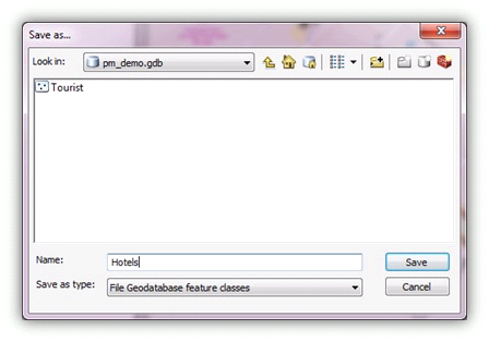
Enter the directory where the geodatabase is to be stored.
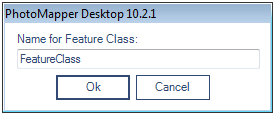
Then a feature class can directly be created in this database. Enter a name for it.

Add a new feature class to an existing file-based Geodatabase
If you would like to create an additional feature class within an existing File-Based Geodatabase, select “Add new feature class to existing File-Based Geodatabase” in the “File” menu. First open the desired database, and then enter a name for the feature class.

Open feature class of an existing Geodatabase
In order to use a feature class, for instance from another PhotoMapper Desktop 10.5 project, load it in the menu with “File” > “Open feature class”. First select the geodatabase (File-Based Geodatabase or Personal Geodatabase) and then the feature class.
Shapefile
The popular file format Esri Shapefile, which contains only one feature class, is also offered as a means of storing your data.
With “Menu” > “File” > “New Shapefile” you create a file in the Shapefile format as a layer.
Import from GPS PhotoMapper 2.0
In order to continue working with your old files in PhotoMapper Desktop 10.5, you can import your old inventory.
Just click on “Import PhotoMapper v2.0 Feature Class” in the “File” menu.
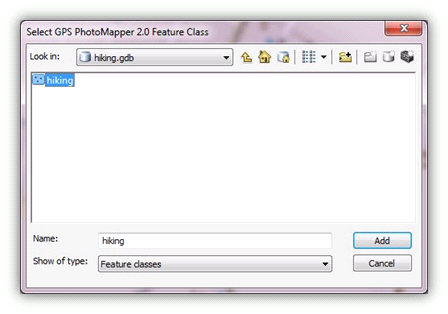
In GPS PhotoMapper 2.0 feature classes were saved in a Personal Geodatabase. So first select the database file (*.mdb) from the file dialog and then the feature class.

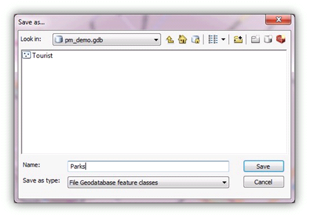
Then select the File-Based Geodatabase where you would like to save the imported feature class and enter a name for it.
