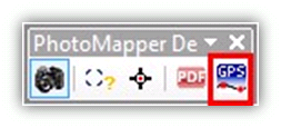
GPS Track import

This tool offers the possibility to import GPS logs in different formats and transfer them into a line feature. You can determine the geometry and attributes of this line feature with several settings.

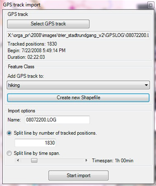
GPS-Track
Choose a log file. NMEA 0186- and G800SE / G700SE / Caplio 500SE log files are supported. After the import, the number of positions, beginning and duration of the track will be displayed.
Feature-Class
Here you can specify where the created line features are to be saved. To do this, choose a line feature class from the active view. Alternatively, you can create a new shapefile.
Import settings
Enter the name the created line feature shall have in ArcGIS. This is especially helpful, when several GPS logs are to be displayed in one feature class.
If you want to section the new line feature, you can specify how many points can be combined to one line feature in each case. If this value equals or exceeds the number of recorded positions, there will be accordingly just one feature.
Another possibility is to divide by time span in which the GPS points have been recorded.