ProfileTool
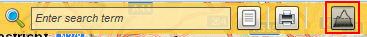
Using the ProfileTool height profiles can be created along user-defined paths.
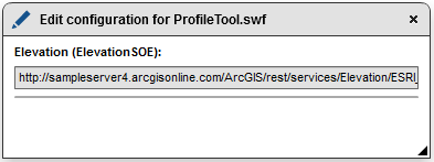
Enter the URL of a REST Elevation service in the configuration window.
After that you can use the tool in the Flex client. By leftclicking in the map a vertex is set.
After another left-click in the map a further vertex is set. Between the points a line is drawn along which the height profile is determined.
Further vertices can be added. The route extends accordingly.
When hovering over the height profile the corresponding peak in the map is displayed.
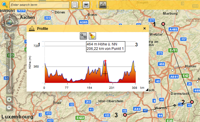
With the help of the cleaning tool, the vertices and the height profile will be deleted
Note: The ProfileTool is exclusively available in the Flex map client.