OverviewMapTool

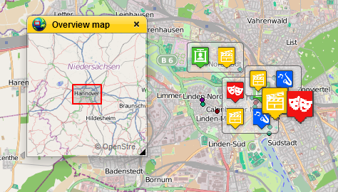
The tool requires a raster layer as a parameter, and shows the user an overview of the map in the map application. Note the appropriate SRID.
The tool requires a raster layer as a parameter, and shows the user an overview of the map in the map application. Note the appropriate SRID.